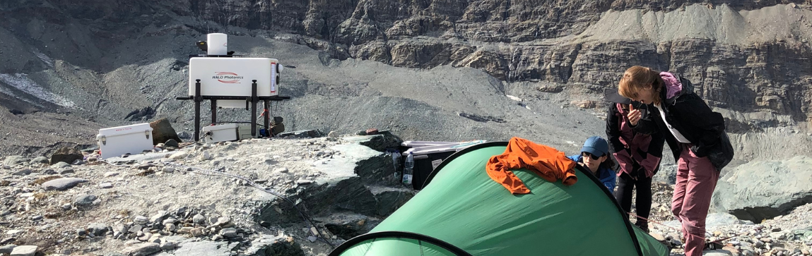
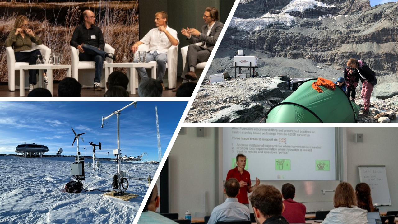
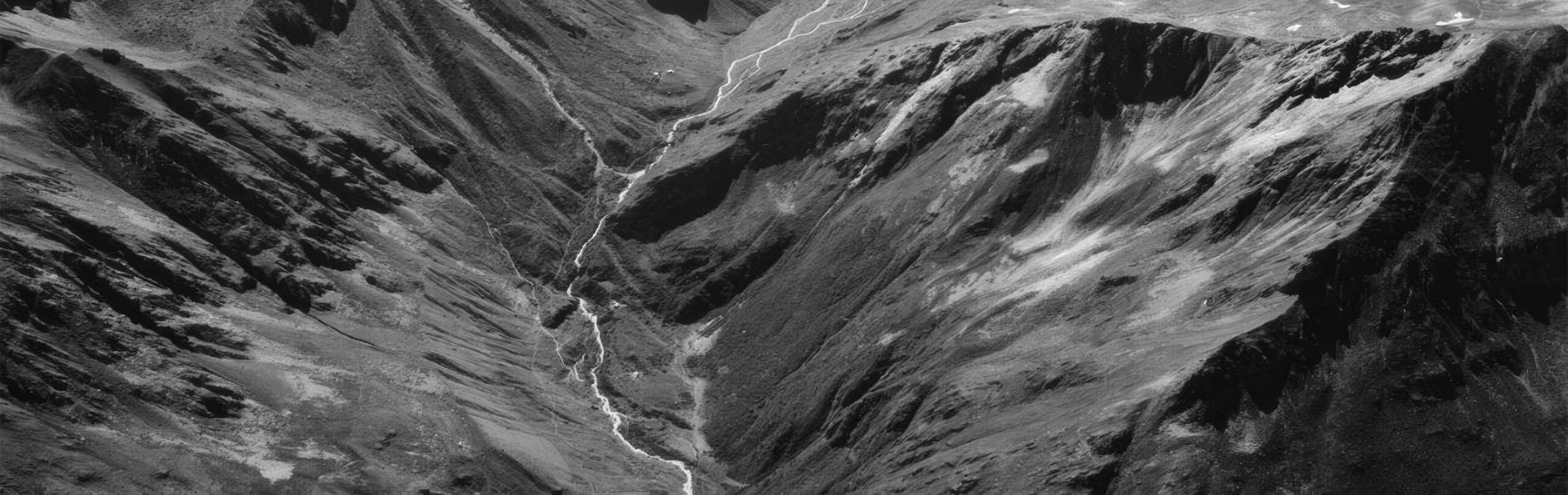
CRYOS investigates the processes that shape snow and atmosphere in mountain and polar regions and their role in a changing climate. CRYOS also works on risk management and optimization of renewable energy production in alpine terrain based on its expertise in wind, water, and radiation processes.
Research topics
1
We study the processes at the interface of snow and ice with the atmosphere to understand and quantify the energy and mass balance which are changing in a warming climate. Results will help in predicting and adapting to climate change, in the sectors of natural hazards, alpine tourism, agriculture, and renewable energy production.
2
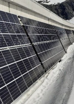
The lab investigates the potential of wind and solar resources for renewable energy production in mountain regions with particular focus on optimization such as better balancing summer and winter production and increasing energy production in winter to reduce the seasonal production deficit.
3
CRYOS develops and applies physics-based numerical models for snow, permafrost and the lower atmosphere, which are used in theoretical and applied research. Such models allow for predictions and for simulating scenarios of events and possible changes in alpine and polar regions.
Our key projects
SWEET EDGE
Aas part of the “SWiss Energy research for the Energy Transition” program, EDGE seeks to provide scientific evidence to fast-track the growth of locally sourced decentralized renewable energy in Switzerland, to help achieving renewable energy targets in 2035 and 2050.
Swiss Federal Office of Energy (SFOE) - Universities of Geneva, Bern, ETH Zürich, HSLU Lucern, ZHAW (project leaders)
MatterHEX
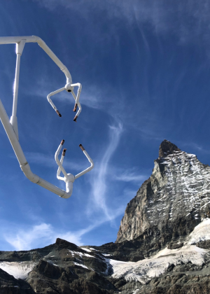
A Swiss, German, USA collaboration with experimental field work in Zermatt, Valais. The project studied the complex processes of flow and cloud formation around Matterhorn and integrated the findings in numerical models to further improve alpine weather forecasts.
Gemeinde Zermatt, Air Zermatt, Universität Mainz (DE), University of Utah, Salt Lake City (US)
Antarctic snow
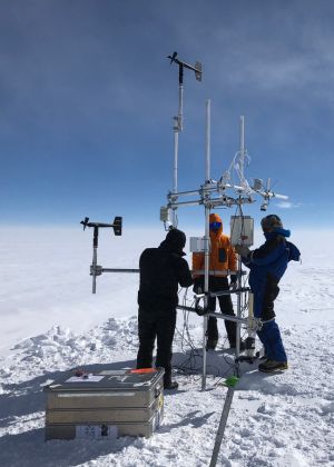
CRYOS measures and models the surface energy and mass balance on the East Antarctic Ice Sheet (Princess Elisabeth station) and high mountains. In 2024, the installations were complemented with a wind lidar and a series of anemometers. The study led to the development of an Antarctic wind atlas.
SNSF (CH); International Polar Foundation (BE); Alfred Wegener Institute (DE)
Our results and highlights
1
Showing how much electricity import can be avoided and how much additional revenue can be generated if hydropower resources are used optimally in a future more renewable energy mix.
2
ERC Synergy grant SnowShifts on future snow climates
3
UrbanTwin & Speed2Zero Joint Initiative projects
4
Sunwell Spin-Off
Team & talents
Lab team size
Current team : 16 (1 professor, 7 senior scientists (post-doc & scientific collaborators), 7 PhD students, 1 administrative collaborator,)
Introducing a specific team member
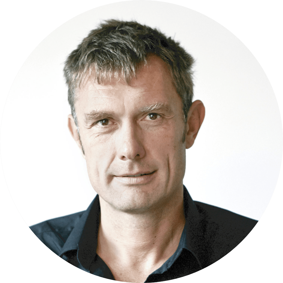
Yael Frischholz is a PhD student in his final year. His research perfectly bridges the labs dual domain of cryospheric sciences and optimization of renewable energy production. Yael’s innovative approaches, technical and numerical advancements are improving solar radiation maps for Alpine terrain and contribute to the goal of the long-term Swiss energy transition.
Skills developed by the scientific team
CRYOS members work very autonomously under targeted scientific guidance. They develop expertise in environmental science and engineering, fieldwork and instrument deployment, numerical modeling including Machine Learning, science communication and outreach.
Other
Marie-Curie Awardee Brandon van Schaik: Improving wind power assessment in Switzerland and Antarctica
Regional and social impacts
1
Facts and information on local consequences of climate change. Propositions for mitigating and solutions for better adapting to consequences of climate change.
2
Contribution to the management of local water resources and natural hazards. Assessment and potential of renewable energy sources in alpine regions.
3
Data and scenario simulations for ski resorts and mountain tourism in general. Knowledge, data, and simulations for hydropower sector. Support for development of high-Alpine PV and wind resources.
4
Better urban climate in Sion.
Perspectives and challenges
Main priorities
Solve the urgent problems of the energy transition in Switzerland and facilitate the contribution of the mountain areas.
Improve, snow and precipitation estimates in extreme environments and forecast non-linear changes in snow climates.
Contribute to the management of natural hazards in Canton Valais such as for rain on snow events.
Main challenges
Most teaching is based at the EPFL campus in Lausanne which poses difficulties for students, teaching assistants and lecturers. Project-based teaching and block courses could be offered in Sion. Short-term accommodation for students and teaching staff may be a partial solution.
Future Partnerships
Canton VS, Ville de Sion, and local companies for graduate student projects or research theses.
To understand the coupled physical, chemical and biological processes in high-mountain streams and rivers in the context of climate change.
Research topics
1
Understand the secrets of microbial life in high-mountain streams.
2
Unravel teh contributions of world’s streams and rivers to the global carbon cycle
3
Predict the future of glacier-fed streams as glaciers shrink owing to climate change
Our key projects
Kyrgyz Glacier Expedition
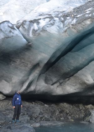
Expedition to sample Kyrgyze glaciers and streams with the aim to understand the microbial ecology of these vanishing ecosystems.
HydroMet Kyrgyzstan, CAIAG
High-Mountain Geohazards
Workshop on high-mountain geohazards related to glacier melt
Bhutanese Center of Meteorology and Hydrology, Glacier Stewardship Program
Tajikistan Glacier Expedition
Expedition to Tajikistan to study the biogeochemistry of glacier-fed streams in the Pamir region.
Our results and highlights
1
Vanishing Glaciers Project, The NOMIS Foundation
2
Vladimir Ivanovich Vernadsky Medal of the European Geosciences Union to Tom Battin
3
SNSF Paradoxon: Unveiling the success of a dominant primary producer in high-mountain streams; SNSF Water4All BREATHE: From sensors to new indicators for water qualitiy;
4
Publications in Nature, Nature Geoscience, Nature Microbiology etc
Team & talents
Lab team size
15-22
Skills developed by the scientific team
Think critically, scientific rigour, fundamentals in aquatic ecosystem science, biogeochemistry and microbial ecology
Other
The RIVER team is multidisciplinary, including expertise in sensor technology, molecular biology, bioinformatics, glaciology, ecology and evolution
Regional and social impacts
1
Glaciers are more than just frozen water; a new research frontier
2
The value of streams and rivers goes behond the value of hydropower. RIVER highlights the value of high-mountain stream ecosystem processes, including their unique biodiversity, water quality etc.
3
RIVER sampled and studied in an unprecedented effort glacier-fed streams worldwide
Perspectives and challenges
Priority 1
The establishment of a research-driven biobank to safeguard, harness and explore the micorbial biodiversity of icy ecosystems worldwide.
Priority 2
Establish a network of water quality sensors in Valais inclduing key stakeholders.
Main challenges
Securing funds for long-term research, that often has monitoring environmental variables. Monitoring systems should become part of infrastructure, thereby facilitating the acquistion of third-party funding.
Future Partnerships
Chinese Academy of Sciences, Institut Pasteur Paris
Environmental Computational Science and Earth Observation Laboratory (ECEO)
Prof. Devis Tuia
Environmental Computational Science and Earth Observation (ECEO)
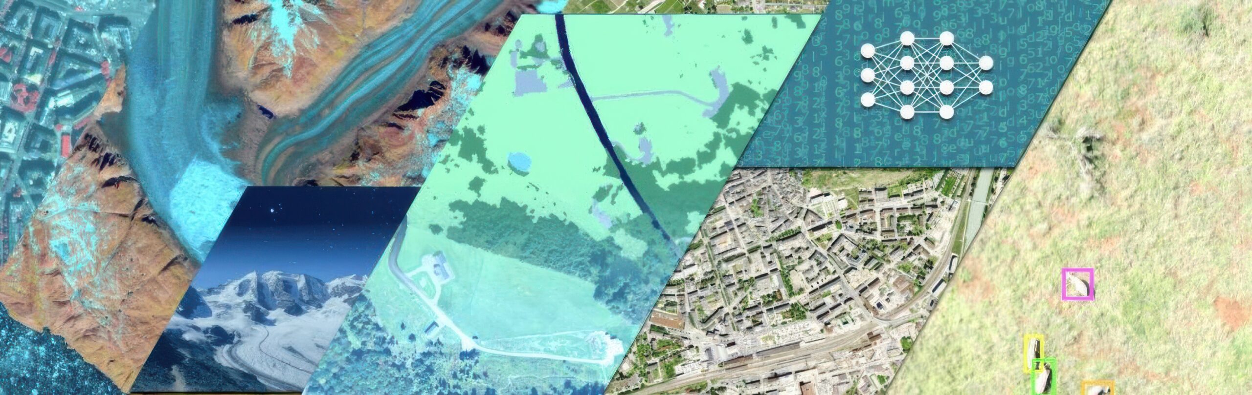
At ECEO we develop technology to monitor Earth with digital data. We use data from multiple sources (from the smartphone to the satellite) and develop algorithms enabling spatio temporal monitoring of our changing Earth. We study land processes, underwater ecosystems and ecosystems dynamics, for instance related to animal conservation and forest monitoring.
Research topics
1
Develop AI algorithms to make sense of digital data about Earth
2
Monitor endangered ecosystems like coral reefs or tropical forests
3
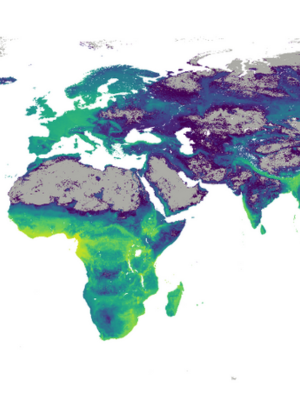
Map distirbution of species (animals and vegetal) and how they distribute in space and time, especially under climate change
Our key projects
DeepSDM
In collaboration with ETH, MILa and MIT (among others) we develop AI technology to map in space and time the distribution of (endangered) species
ETH MIT MILA Ohio State University
Coral reef monitoring in the Red Sea
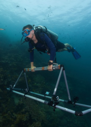
We develop machine learning technology to map coral reefs with close sensing, support local monitoring programs and build capacity in the Red Sea Nations with dedicated workshops
Transnational Red Sea Center (EPFL) Univeristé de Djibouti Red Sea University
Treeline monitoring
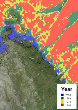
Monitor alpine forests in Switzerland with 80 years of aerial photography. We develop AI tools to map and monitor the extend of the upper limit of Swiss forests and study changes in forest dynamics due to climate change
IDIAP institute Swisstopo UNIL /Jardin des plantes
Our results and highlights
1
Competion of coral monitoring mission in Djibouti (2023) and Erirea (2024), including training workshops for local scientists.
Release of our global map of Antarctica for blue ice
2
D. Tuia, elevation to IEEE Fellow
3
European Space Agency, Toward a Foundation Model for Multi-Sensor Earth Observation Data with Language Semantics, Open Space Innovation Program
Marie Curie European Doctoral Network WildDrone
Team & talents
Lab team size
18 people
Skills developed by the scientific team
Machine learning algorithms for understanding environmental processes
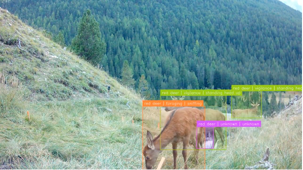
Low cost monitoring systems based on camera traps (Mammalps project with Swiss National Park), GoPro cameras (coral reefs monitoring) and fixed wings drones (WildDrone project, tested in Kenya and Namibia in 2025)
Regional and social impacts
1
We provide reproducible algorithms and scientific evidence at large scale of the evolution of several critical ecosystems of Earth
2
We collaborate with seveal services of the Canton (Géoinformation, Forets, Agriculture) to support them in their monitoring efforts, in particular to scale them up and automatize
3
Through collaborations with industry (Swisstopo, AXA), we develop technology critical to make their data analysis routiens more efficient and accurate
4
We train the next generation of environmental engineers in data proficiency, and prepare them to the future challenges of process monitoring, which are strongly influenced by big data problems and complex, multi-modal sterams
Perspectives and challenges
Main opportunities
Democratization of AI is a great opportunity to spread wider our technology
Great interest in Valais for AI technology helps us connecting with several key regional players
Future Partnerships
Expanding our coral technology in other reefs of the world, towards a citizen-led monitoring system
Extending our blue ice mapping technology to other problematics related to polar dynamics
Cookie policy
By continuing to browse this site, you agree to the use of cookies to improve your user experience and for the generation of visit statistics.
You can customise the use of cookies using the buttons below.